-

Mastervolt Alternator Temperature Sensor for Alpha Pro
Mastervolt
Current Stock: 0$31.67When using the Alpha Pro in combination with non-Mastervolt alternators, this alternator temperature sensor may offer additional protection against over heating.MV41500400$31.67 -


Mastervolt Soft Start - 13-22kW
Mastervolt
Current Stock: 0$528.89The Soft Start automatic switch suppresses the inrush current from the isolation transformer to prevent the power fuse from blowing. General Specifications Voltage: 230 V Power: 13,000-22,000 W Dimensions (H x W x D): 200 mm (7.9") x 180 mm (7.1") x 115...MV55003400$528.89 -


Mastervolt Transfer System with Soft Start - 120/230V - 13kW
Mastervolt
Current Stock: 0$2,448.25Mastervolt supplies three automatic switching systems for capacities of 6, 9 and 13 kW that - combined with an IVET transformer - adjust grid power to the onboard system. As a result, a 230 V/50 Hz system can easily function with an American or Caribbean...MV55011300$2,448.25 -


Mastervolt Transfer System with Soft Start - 120/230V - 9kW
Mastervolt
Current Stock: 0$2,179.54Mastervolt supplies three automatic switching systems for capacities of 6, 9 and 13 kW that - combined with an IVET transformer - adjust grid power to the onboard system. As a result, a 230 V/50 Hz system can easily function with an American or Caribbean...MV55010900$2,179.54 -


Mastervolt Transfer System with Soft Start - 120/230V - 6kW
Mastervolt
Current Stock: 0$2,058.54Mastervolt supplies three automatic switching systems for capacities of 6, 9 and 13 kW that - combined with an IVET transformer - adjust grid power to the onboard system. As a result, a 230 V/50 Hz system can easily function with an American or Caribbean...MV55010600$2,058.54 -

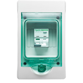
Mastervolt Shore Fix (RCD) - 16A/30mA
Mastervolt
Current Stock: 0$357.14The Shore Fix is a switch that protects and prevents the electrical installation against the leakage of electricity, and therefore prevents dangerous situations. For example, if the reverse current is not equivalent to the forward current, the Shore Fix...MV124001000$357.14 -

Mastervolt Masterswitch - 7kW (120V)
Mastervolt
Current Stock: 0$772.01The Mastervolt Masterswitch is the heart of the AC installation. It is designed to take over manual switching between two different power sources, automatically transferring the available AC power source to the output. Automatic switching between the...MV55106100$772.01 -
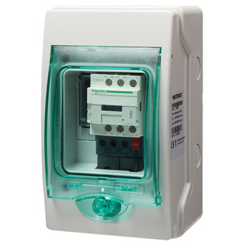
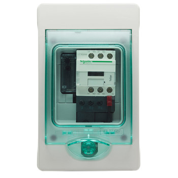
Mastervolt Masterswitch - 3kW (120V)
Mastervolt
Current Stock: 0$510.41The Mastervolt Masterswitch is the heart of the AC installation. It is designed to take over manual switching between two different power sources, automatically transferring the available AC power source to the output. Automatic switching between the...MV55106000$510.41 -

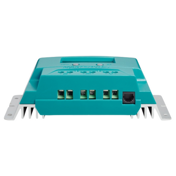
Mastervolt Solar ChargeMaster Charge Controller - SCM-40A PWM
Mastervolt
Current Stock: 0$164.44This solar charge regulator based on PWM technology is a great solution to charge your batteries with solar energy. Suitable for both 36 cells panels (in 12 V systems) and 72 cells panels (in 24 V systems). Its protection against water spray, suitability...MV131824000$164.44 -

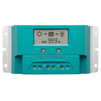
Mastervolt Solar ChargeMaster Charge Controller - SCM-20A PWM
Mastervolt
Current Stock: 0$113.92This solar charge regulator based on PWM technology is a great solution to charge your batteries with solar energy. Suitable for both 36-cell panels (in 12 V systems) and 72-cell panels (in 24 V systems). Its protection against water spray, suitability...MV131822000$113.92 -


Mastervolt Mac Plus Series DC-DC Converter/Charger
Mastervolt
Current Stock: 3$795.42Boost the charging voltage of your service battery! Charging the service batteries on board of a vehicle or vessel can be challenging. Recharging tends to take a long time and batteries may not receive a full charge. This is a common problem found in...$795.42 -

Mastervolt Waterproof Switch Button - Water Flushing Tap
Mastervolt
Current Stock: 12$5.82This weather-resistant control button from Mastervolt, made of polycarbonate composite, can be easily clicked onto the base waterproof switch. There are more than 60 different pictograms/symbols in stock. A key for removing the control button again is...MV70906644$5.82 -
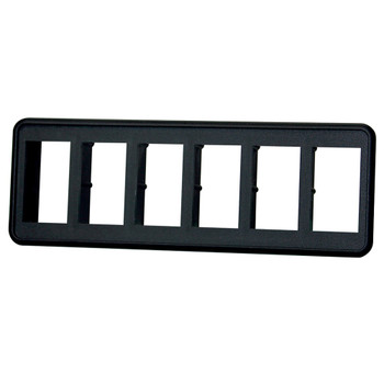
Mastervolt VM6 Installation Frame for 6 Rocker Switch
Mastervolt
Current Stock: 0$29.32Convenience is a blessing: a Mastervolt waterproof switch is inserted into a weather-resistant installation sheath. Mount in the existing dashboard using sealant or glue or in the accompanying ready-made installation frame. Using such an installation...MV70906305$29.32 -
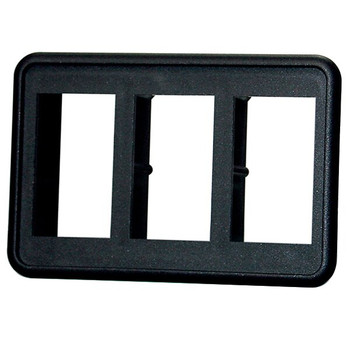
Mastervolt VM3 Installation Frame for 3 Rocker Switch
Mastervolt
Current Stock: 0$19.92Convenience is a blessing: a Mastervolt waterproof switch is inserted into a weather-resistant installation sheath. Mount in the existing dashboard using sealant or glue or in the accompanying ready-made installation frame. Using such an installation...MV70906304$19.92 -

Mastervolt Waterproof Switch Button - Bilge Blower
Mastervolt
Current Stock: 8$5.82This weather-resistant control button from Mastervolt, made of polycarbonate composite, can be easily clicked onto the base waterproof switch. There are more than 60 different pictograms/symbols in stock. A key for removing the control button again is...MV70906619$5.82 -

Mastervolt Waterproof Switch Button - Work Light (Version A)
Mastervolt
Current Stock: 0$5.82This weather-resistant control button from Mastervolt, made of polycarbonate composite, can be easily clicked onto the base waterproof switch. There are more than 60 different pictograms/symbols in stock. A key for removing the control button again is...MV70906616$5.82 -
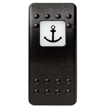
Mastervolt Waterproof Switch Button - Anchor
Mastervolt
Current Stock: 0$5.82This weather-resistant control button from Mastervolt, made of polycarbonate composite, can be easily clicked onto the base waterproof switch. There are more than 60 different pictograms/symbols in stock. A key for removing the control button again is...MV70906615$5.82 -
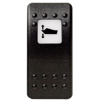
Mastervolt Waterproof Switch Button - Trimming Operation (Version A)
Mastervolt
Current Stock: 0$5.82This weather-resistant control button from Mastervolt, made of polycarbonate composite, can be easily clicked onto the base waterproof switch. There are more than 60 different pictograms/symbols in stock. A key for removing the control button again is...MV70906614$5.82 -

Mastervolt Waterproof Switch Button - Light
Mastervolt
Current Stock: 0$5.82This weather-resistant control button from Mastervolt, made of polycarbonate composite, can be easily clicked onto the base waterproof switch. There are more than 60 different pictograms/symbols in stock. A key for removing the control button again is...MV70906613$5.82 -

Mastervolt Waterproof Switch Button - Check
Mastervolt
Current Stock: 0$5.82This weather-resistant control button from Mastervolt, made of polycarbonate composite, can be easily clicked onto the base waterproof switch. There are more than 60 different pictograms/symbols in stock. A key for removing the control button again is...MV70906612$5.82 -

Mastervolt Waterproof Switch Button - Search Light
Mastervolt
Current Stock: 0$5.82This weather-resistant control button from Mastervolt, made of polycarbonate composite, can be easily clicked onto the base waterproof switch. There are more than 60 different pictograms/symbols in stock. A key for removing the control button again is...MV70906611$5.82 -
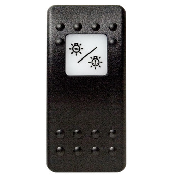
Mastervolt Waterproof Switch Button - Running/Anchor Light
Mastervolt
Current Stock: 0$5.82This weather-resistant control button from Mastervolt, made of polycarbonate composite, can be easily clicked onto the base waterproof switch. There are more than 60 different pictograms/symbols in stock. A key for removing the control button again is...MV70906610$5.82 -

Mastervolt Waterproof Switch Button - Masterswitch
Mastervolt
Current Stock: 0$5.82This weather-resistant control button from Mastervolt, made of polycarbonate composite, can be easily clicked onto the base waterproof switch. There are more than 60 different pictograms/symbols in stock. A key for removing the control button again is...MV70906609$5.82 -

Mastervolt Waterproof Switch Button - Anchor Light
Mastervolt
Current Stock: 0$5.82This weather-resistant control button from Mastervolt, made of polycarbonate composite, can be easily clicked onto the base waterproof switch. There are more than 60 different pictograms/symbols in stock. A key for removing the control button again is...MV70906608$5.82 -

Mastervolt Waterproof Switch Button - Windshield Wiper
Mastervolt
Current Stock: 0$5.82This weather-resistant control button from Mastervolt, made of polycarbonate composite, can be easily clicked onto the base waterproof switch. There are more than 60 different pictograms/symbols in stock. A key for removing the control button again is...MV70906606$5.82 -

Mastervolt Waterproof Switch Button - Ventilation Fan
Mastervolt
Current Stock: 0$5.82This weather-resistant control button from Mastervolt, made of polycarbonate composite, can be easily clicked onto the base waterproof switch. There are more than 60 different pictograms/symbols in stock. A key for removing the control button again is...MV70906605$5.82 -
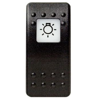
Mastervolt Waterproof Switch Button - Main Light Switch
Mastervolt
Current Stock: 0$5.82This weather-resistant control button from Mastervolt, made of polycarbonate composite, can be easily clicked onto the base waterproof switch. There are more than 60 different pictograms/symbols in stock. A key for removing the control button again is...MV70906604$5.82 -

Mastervolt Waterproof Switch Button - Running Lights
Mastervolt
Current Stock: 0$5.82This weather-resistant control button from Mastervolt, made of polycarbonate composite, can be easily clicked onto the base waterproof switch. There are more than 60 different pictograms/symbols in stock. A key for removing the control button again is...MV70906603$5.82 -

Carling Waterproof Switch Button - Horn
Mastervolt
Current Stock: 3$5.86This weather-resistant control button from Carling, made of polycarbonate composite, can be easily clicked onto the base waterproof switch. There are more than 60 different pictograms/symbols in stock. A key for removing the control button again is also...58123$5.86 -
Mastervolt Waterproof Switch Button - Without Light
Mastervolt
Current Stock: 0$5.82This weather-resistant control button from Mastervolt, made of polycarbonate composite, can be easily clicked onto the base waterproof switch. There are more than 60 different pictograms/symbols in stock. A key for removing the control button again is...MV70906601$5.82 -

Mastervolt Waterproof Switch Button - Blank
Mastervolt
Current Stock: 7$5.82This weather-resistant control button from Mastervolt, made of polycarbonate composite, can be easily clicked onto the base waterproof switch. There are more than 60 different pictograms/symbols in stock. A key for removing the control button again is...MV70906600$5.82 -

Mastervolt Waterproof Switch (On)/Off - 1 Phase
Mastervolt
Current Stock: 0$19.92Every electric switch onboard has to meet the highest demands. Mastervolt offers a wide choice of stylish, waterproof switches for a range of onboard functions. All fully waterproof switches (IP66) supplied by Mastervolt are tested for frequent use at...MV70906430$19.92 -

Mastervolt Waterproof Switch Off/On/Off - 2 Phase (Wiper)
Mastervolt
Current Stock: 0$23.44Every electric switch onboard has to meet the highest demands. Mastervolt offers a wide choice of stylish, waterproof switches for a range of onboard functions. All fully waterproof switches (IP66) supplied by Mastervolt are tested for frequent use at...MV70906425$23.44 -

Mastervolt Waterproof Switch On/(Off) - 1 Phase
Mastervolt
Current Stock: 0$19.92Every electric switch onboard has to meet the highest demands. Mastervolt offers a wide choice of stylish, waterproof switches for a range of onboard functions. All fully waterproof switches (IP66) supplied by Mastervolt are tested for frequent use at...MV70906415$19.92 -

Mastervolt Double Pole Circuit Breaker Rocker - Red - 30A
Mastervolt
Current Stock: 7$56.34Circuit breakers are the 'safety stop' signs of your onboard electrical system, they secure the electrical circuit against overload or short circuits. For equipment that is connected directly to the circuit breakers - such as lighting - they can also act...MV70905130$56.34 -

Mastervolt Waterproof Switch On/Off - 1 Phase (No LED)
Mastervolt
Current Stock: 0$19.92Every electric switch onboard has to meet the highest demands. Mastervolt offers a wide choice of stylish, waterproof switches for a range of onboard functions. All fully waterproof switches (IP66) supplied by Mastervolt are tested for frequent use at...MV70906405$19.92 -

Mastervolt Double Pole Circuit Breaker Rocker - Red - 15A
Mastervolt
Current Stock: 8$56.34Circuit breakers are the 'safety stop' signs of your onboard electrical system, they secure the electrical circuit against overload or short circuits. For equipment that is connected directly to the circuit breakers - such as lighting - they can also act...MV70905115$56.34 -

Mastervolt VCH Connection Block for Switch Contacts
Mastervolt
Current Stock: 0$7.67This electrical connection block (VCH) can be used for insulating and securing the connections. Together with a control button, waterproof switch and installation frame, convenience and safety is just a step away. Technical Files Dimension Drawing...MV70906320$7.67 -

Mastervolt RJ12 Communication Modular Cable - 10m
Mastervolt
Current Stock: 2$22.27High-quality communication cable fitted with RJ12-type modular plugs. Suitable for connecting a remote control panel to a battery charger, inverter, or Combi. Also suitable as a sync cable for Mass Sine Ultra, Mass Combi Ultra, or Mass Combi Pro models,...MV6502100100$22.27 -
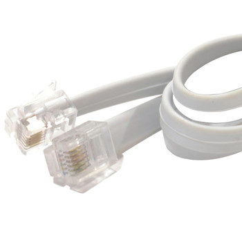
Mastervolt RJ12 Communication Modular Cable - 6m
Mastervolt
Current Stock: 0$16.39High-quality communication cable fitted with RJ12-type modular plugs. Suitable for connecting a remote control panel to a battery charger, inverter, or Combi. Also suitable as a sync cable for Mass Sine Ultra, Mass Combi Ultra, or Mass Combi Pro models,...MV6502001030$16.39

- EU STORE, IRELAND BASED | WORLDWIDE SHIPPING | FREE DELIVERY TO IRL & NI FOR ORDERS OVER €80


