Garmin Navionics +
These Garmin Navionics + electronic charts are exclusive for use in Garmin Chartplotters
-

Garmin BlueChart G3 - Europe Atlantic Coast - VEU722L
Garmin
Current Stock:€433.00Unparalleled coastal chart coverage Provides industry-leading coverage, clarity and detail with updated coastal charts that feature integrated Garmin and Navionics® data Auto Guidance1 technology calculates a route using your desired depth and...G010-C1156-00€433.00 -

Garmin BlueChart G3 - Ireland West Coast
Garmin
Current Stock: 2€178.00Unparalleled coastal chart coverage Provides industry-leading coverage, clarity and detail with updated coastal charts that feature integrated Garmin and Navionics® data Auto Guidance1 technology calculates a route using your desired depth and...G010-C0764-20€178.00 -

Garmin BlueChart G3 - Irish Sea
Garmin
Current Stock: 2€178.00Unparalleled coastal chart coverage Provides industry-leading coverage, clarity and detail with updated coastal charts that feature integrated Garmin and Navionics® data Auto Guidance1 technology calculates a route using your desired depth and...G010-C0763-20€178.00 -
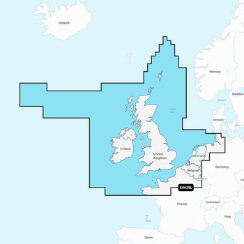
Garmin Navionics+ Chart - IRL , UK & NL
Garmin
Current Stock: 10€280.95Garmin Navionics Vision+ Electronic Chart NVEU004R has coastal coverage of the eastern coast of Ireland, the western coast of Britain, including the Isle of Man and Isles of Scilly. Coverage is from Port Ellen on the Isle of Islay to Falmouth in Britain...G010-C1271-20€280.95 -
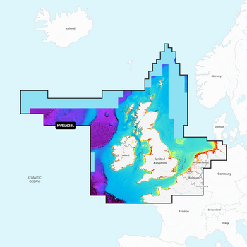
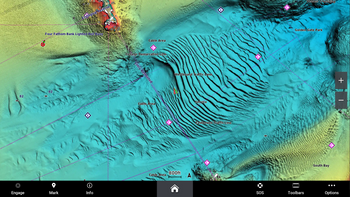
Garmin Navionics Vision+ Chart - IRL , UK & NL
Garmin
Current Stock: 1€389.95Garmin Navionics Vision+ Electronic Chart NVEU004R has coastal coverage of the eastern coast of Ireland, the western coast of Britain, including the Isle of Man and Isles of Scilly. Coverage is from Port Ellen on the Isle of Islay to Falmouth in Britain...G010-C1271-00€389.95 -


Garmin Navionics Vision+ Electronic Chart - UK, IRL Rivers & Lakes
Navionics
Current Stock: 0€292.95Garmin Navionics Vision+ detailed coverage of major lakes and rivers of the UK and Ireland. Coverage includes the Thames, Medway, Mersey, Avon and Tweed Rivers in the UK and the Shannon River in Ireland. Lake coverage includes Lock Ness, Loch Lochy and...G010-C1267-00€292.95 -

Garmin Navionics+ Chart - Ireland West Coast NSEU075R
Garmin
Current Stock: 3€182.95Garmin Navionics+ Electronic Chart NSU075R - Coastal coverage of the north and western coasts of Ireland from Cork to Belfast including the entire Shannon Inland and Shannon-Erne Waterways, Galway Bay and Lough Neagh. Also included is the southwestern...G010-C1233-20€182.95 -
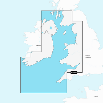
Garmin Navionics+ Chart - Irish Sea NSEU004R
Garmin
Current Stock: 7€182.95Garmin Navionics Electronic Chart NSEU004R has coastal coverage of the eastern coast of Ireland, the western coast of Britain, including the Isle of Man and Isles of Scilly. Coverage is from Port Ellen on the Isle of Islay to Falmouth in Britain and from...G010-C1232-20€182.95 -
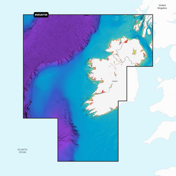
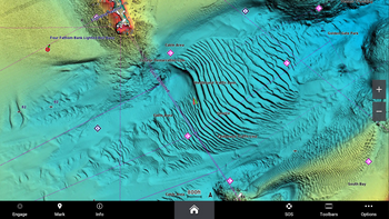
Garmin Navionics Vision+ Chart - Ireland West Coast
Navionics
Current Stock: 6€292.95Garmin Navionics Vision+ Electronic Chart NVEU075R - Coastal coverage of the north and western coasts of Ireland from Cork to Belfast including the entire Shannon Inland and Shannon-Erne Waterways, Galway Bay and Lough Neagh. Also included is the...G010-C1233-00€292.95 -
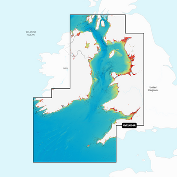
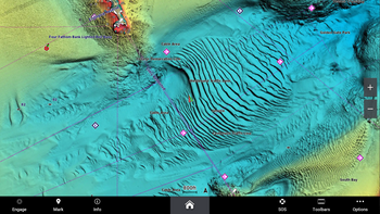
Garmin Navionics Vision+ Chart - Irish Sea
Navionics
Current Stock: 9€292.95Garmin Navionics Vision+ Electronic Chart NVEU004R has coastal coverage of the eastern coast of Ireland, the western coast of Britain, including the Isle of Man and Isles of Scilly. Coverage is from Port Ellen on the Isle of Islay to Falmouth in Britain...G010-C1232-00€292.95 -
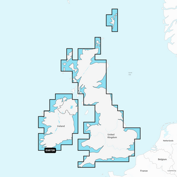
Garmin Navionics+ Chart - UK, IRL Rivers & Lakes
Garmin
Current Stock: 1€182.95Garmin Navionics + Chart NSEU072R with detailed coverage of major lakes and rivers of the UK and Ireland. Coverage includes the Shannon River in Ireland and the Thames, Medway, Mersey, Avon and Tweed Rivers in the UK. Lake coverage includes Lock Ness,...G010-C1267-20€182.95


