Description
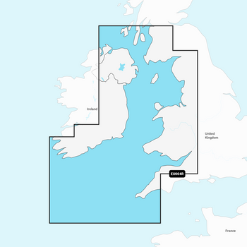
Imray C62 Irish Sea Charts
Includes
- Carrick fergus (1:15 000)
- Bangor Bay (1:17 500)
- Entrance to Strang ford Lough (1:37 500)
- Portaferry Marina (1:7500)
- Strangford (1:5000)
- Ardglass (1:15 000)
- Entrance to Carlingford Lough (1:26 000)
- Malahide Inlet (1:35 000)
- Howth (1:12 500)
- Dun Laoghaire Harbour (1:15 000)
- Ribble Estuary (1:125 000)
- Approaches to Fleetwood (1:50 000)
- River Lune (1:100 000)
- Continuation to Carlingford Marina (1:40 000)
- Continuation to Preston (1:125 000)
Specifications
- Scale: 1:280,000 WGS 84
- Author: Imray
- Publisher: Imray
- ISBN: 9781846238451
- Edition date: 2016
- Publication details Sheet size: 787 x 1118mm
- Waterproof Folded in plastic wallet or flat


