Description
ADMIRALTY Chart 633: Plans on the East Coast of Ireland
Specifications
- Scale: 1:25000
- Manufacturer: ADMIRALTY
- Publisher: ADMIRALTY
- Author: UK Hydrographic Office
- Edition: Jan-14
- Format: Folded to approximately 71.5 x 53.5cm, containing at least one fold
Related Products
Related Products

ADMIRALTY Chart 2792: Plans on the North-West Coast of Ireland
Admiralty
Current Stock: 2
RRP
Now
€46.95
Was
ADMIRALTY Chart 2792: Plans on the North-West Coast of Ireland
Specifications
Scale: 1:250000
Manufacturer: ADMIRALTY
Publisher: ADMIRALTY
49721/2

ADMIRALTY Chart 2790: Ireland - West Coast, Ventry and Dingle Harbours
Admiralty
Current Stock: 1
RRP
Now
€46.95
Was
ADMIRALTY Chart 2790: Ireland - West Coast, Ventry and Dingle Harbours
Specifications
Scale: 1:250000
Manufacturer: ADMIRALTY
Publisher: ADMIRALTY
49721/1

ADMIRALTY Chart 1125: Western Approaches to Ireland
Admiralty
Current Stock: 5
RRP
Now
€46.95
Was
ADMIRALTY Chart 1125: Western Approaches to Ireland
Specifications
Scale: 1:500000
Manufacturer: ADMIRALTY
Publisher: ADMIRALTY
49624/1

Navionics+ Marine Chart - Ireland West Coast
Navionics
Current Stock: 0
RRP
Now
€175.00
Was
Coastal coverage of the north and western coasts of Ireland from Cork to Belfast including the entire Shannon Inland and Shannon-Erne Waterways, Galway Bay and Lough Neagh. Also included is the...
G010-C1312-30

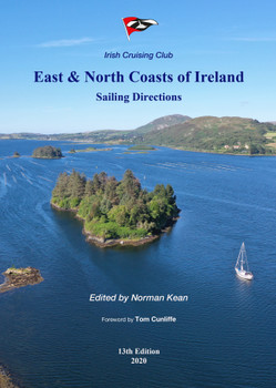
East & North Coast of Ireland Sailing Directions
Imray
Current Stock: 0
RRP
Now
€43.95
Was
Covers from Tuskar Rock in Wexford northwards to Bloody Foreland in Donegal. Includes information of adjacent areas and passage notes for yachts approaching or leaving from the south or northeast...
49567


Garmin Navionics Vision+ Chart - Ireland West Coast
Navionics
Current Stock: 7
RRP
Now
€292.95
Was
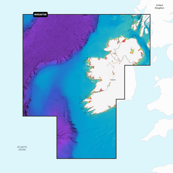
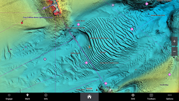
Garmin Navionics Vision+ Electronic Chart NVEU075R - Coastal coverage of the north and western coasts of Ireland from Cork to Belfast including the entire Shannon Inland and Shannon-Erne Waterways,...
G010-C1233-00

Garmin Navionics+ Chart - Ireland West Coast NSEU075R
Garmin
Current Stock: 8
RRP
Now
€182.95
Was
Garmin Navionics+ Electronic Chart NSU075R - Coastal coverage of the north and western coasts of Ireland from Cork to Belfast including the entire Shannon Inland and Shannon-Erne Waterways, Galway...
G010-C1233-20

ADMIRALTY Chart 4004: A Planning Chart for the North Atlantic Ocean and Mediterranean Sea
Admiralty
Current Stock: 0
RRP
Now
€46.95
Was
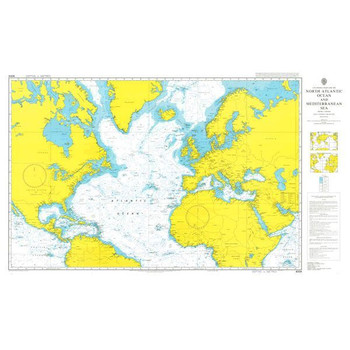
ADMIRALTY Chart 4004: A Planning Chart for the North Atlantic Ocean and Mediterranean Sea
Specifications
Scale: 1:20000000
Manufacturer: ADMIRALTY
Publisher: ADMIRALT
49726

ADMIRALTY Chart 2071: Youghal
Admiralty
Current Stock: 2
RRP
Now
€46.95
Was
ADMIRALTY Chart 2071: Youghal
Specifications
Scale: 1:12500
Manufacturer: ADMIRALTY
Publisher: ADMIRALTY
Author: <
49687


