Imray Charts
-
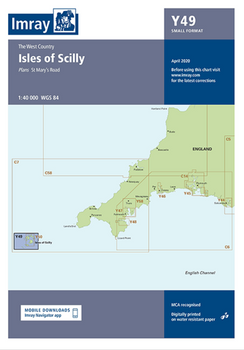
Imray Y49 Isles of Scilly Chart
Imray
AED125.73Imray Y49 Isles of Scilly Chart Includes St Mary’s Road (1:25 000)49565/68AED125.73 -
Imray Norie's Nautical Tables
Imray
AED129.86Since J W Norie published the first edition of this famous set of mathematical tables in 1803, the book has become – and remained - a bestseller. Despite developments in electronic navigation it remains an essential requirement for anyone learning...49565/9AED129.86 -

Imray M11 Gibraltar to Cabo de Gata and Morocco Chart
Imray
AED125.73Imray M11 Gibraltar to Cabo de Gata and Morocco Chart Includes Strait of Gibraltar (1:275 000) Gibraltar (1:50 000) Estepona (1:15 000) Puerto de Almerimar (1:10 000) Almería (1:25 000) Ceuta (1:20 000) Specifications Scale: 1:440 000 WGS 84...49565/67AED125.73 -
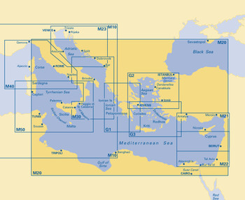
Imray M20 Sardinia to Cyprus and Port Said Chart
Imray
AED125.73Imray M20 Sardinia to Cyprus and Port Said Chart Includes Sardinia to Port Said and the Black Sea Specifications Scale: 1:2,750,000 WGS84 Author Imray Publisher Imray ISBN 9781846233845 Edition date 2011 Publication...49565/66AED125.73 -
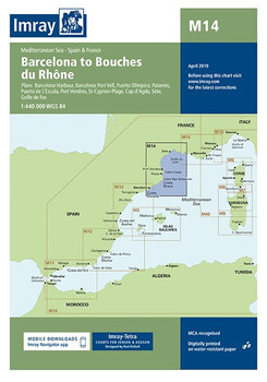
Imray M14 Barcelona to Bouches du Rhône Chart
Imray
AED125.73Imray M14 Barcelona to Bouches du Rhône Chart Includes Barcelona Harbour (1:65 000) Barcelona Port Vell (1:15 000) Puerto Olímpico (1:15 000) Palamós (1:15 000) Puerto de L’Escala (1:10 000) Port Vendres (1:17 500)...49565/6AED125.73 -

Imray C80 British Isles Chart
Imray
AED137.54Imray C80 British Isles Chart Specifications Scale: 1:1 500 000 WGS 84 Author Imray Publisher Imray ISBN 9781786790392 Edition date 2018 Publication details Sheet size 787 x 1118mm. Waterproof. Folded in plastic wallet or flat...49565/46AED137.54 -

Imray C70 Southern North Sea Passage Chart
Imray
AED137.54Imray C70 Southern North Sea Passage Chart Specifications Scale: 1:900,000 WGS 84 Author Imray Publisher Imray ISBN 9781846238239 Edition date 2016 Publication details Sheet size 787 x 1118mm. Waterproof. Folded in plastic...49565/4AED137.54 -
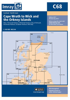
Imray C68 Cape Wrath to Wick and the Orkney Islands Chart
Imray
AED137.54Imray C68 Cape Wrath to Wick and the Orkney Islands Chart Includes Pierowall Harbour (1:40 000) Whitehall Harbour (1:25 000) Bay of Kirkwall (1:12 500) Stromness Harbour (1:12 500) Scrabster Harbour (1:7500) Wick Bay (1:10 000) Specifications Scale:...49565/3AED137.54 -
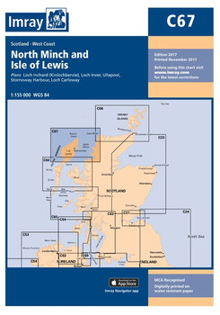
Imray C67 North Minch and Isle of Lewis Chart
Imray
AED137.54Imray C67 North Minch and Isle of Lewis Chart Includes Loch Inchard (Kinlochbervie) (1:12 500) Loch Inver (1:15 000) Ullapool (1:10 000) Stornoway Harbour (1:15 000) Loch Carloway (1:20 000) Specifications Scale: 1:155,000 WGS 84 Author Imray...49565/2AED137.54 -

Imray C66 Mallaig to Rudha Reidh and Outer Hebrides Chart
Imray
AED137.54Imray C66 Mallaig to Rudha Reidh and Outer Hebrides Chart Includes Loch Gairloch (1:40 000) Kyleakin (1:40 000) Portree (1:25 000) Uig (1:35 000) Dunvegan (1:40 000) Loch Boisdale (South Uist) (1:25 000) Loch Carnan (1:20 000) Loch Maddy (1:40 000) East...49565/1AED137.54 -
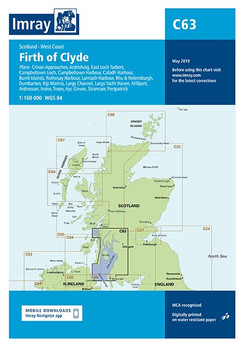
Imray C63 Firth of Clyde Chart
Imray
AED137.54Imray C63 Firth of Clyde Chart Includes Crinan Approaches (1:10 000) Ardrishaig (1:15 000) East Loch Tarbert (1:12 000) Campbeltown Loch (1:35 000) Campbeltown Harbour (1:7500) Caladh Harbour (1:10 000) Burnt Islands (1:10 000) Rothesay Harbour (1:5000)...49563AED137.54 -

Imray C62 Irish Sea Charts
Imray
AED137.54Imray C62 Irish Sea Charts Includes Carrickfergus (1:15 000) Bangor Bay (1:17 500) Entrance to Strangford Lough (1:37 500) Portaferry Marina (1:7500) Strangford (1:5000) Ardglass (1:15 000) Entrance to Carlingford Lough (1:26 000) Malahide Inlet (1:35...49562AED137.54


