Imray Charts
-

Imray C66 Mallaig to Rudha Reidh and Outer Hebrides Chart
Imray
€34.95Imray C66 Mallaig to Rudha Reidh and Outer Hebrides Chart Includes Loch Gairloch (1:40 000) Kyleakin (1:40 000) Portree (1:25 000) Uig (1:35 000) Dunvegan (1:40 000) Loch Boisdale (South Uist) (1:25 000) Loch Carnan (1:20 000) Loch Maddy (1:40 000) East...49565/1€34.95 -

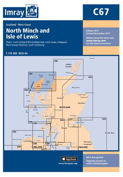
Imray C67 North Minch and Isle of Lewis Chart
Imray
€34.95Imray C67 North Minch and Isle of Lewis Chart Includes Loch Inchard (Kinlochbervie) (1:12 500) Loch Inver (1:15 000) Ullapool (1:10 000) Stornoway Harbour (1:15 000) Loch Carloway (1:20 000) Specifications Scale: 1:155,000 WGS 84 Author Imray...49565/2€34.95 -

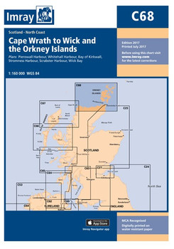
Imray C68 Cape Wrath to Wick and the Orkney Islands Chart
Imray
€34.95Imray C68 Cape Wrath to Wick and the Orkney Islands Chart Includes Pierowall Harbour (1:40 000) Whitehall Harbour (1:25 000) Bay of Kirkwall (1:12 500) Stromness Harbour (1:12 500) Scrabster Harbour (1:7500) Wick Bay (1:10 000) Specifications Scale:...49565/3€34.95 -

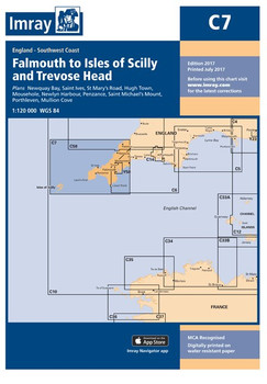
Imray C7 Falmouth to Isles of Scilly and Trevose Head Chart
Imray
€34.95Imray C7 Falmouth to Isles of Scilly and Trevose Head Chart Includes Newquay Bay (1:10 000) Saint Ives (1:15 000) St Mary’s Road (1:25 000) Hugh Town (1:10 000) Mousehole (1:5000) Newlyn Harbour (1:12 000) Penzance (1:12 000) Saint Michael’s...49507€34.95 -

Imray C70 Southern North Sea Passage Chart
Imray
€34.95Imray C70 Southern North Sea Passage Chart Specifications Scale: 1:900,000 WGS 84 Author Imray Publisher Imray ISBN 9781846238239 Edition date 2016 Publication details Sheet size 787 x 1118mm. Waterproof. Folded in plastic...49565/4€34.95 -

Imray C8 Dover Strait Chart
Imray
€34.95Imray C8 Dover Strait Chart Includes Sovereign Harbour (1:20 000) Rye Harbour (1:35 000) Folkestone Harbour (1:10 000) Dover (1:15 000) River Stour Entrance (1:35 000) Ramsgate (1:6500) Calais (1:20 000) Boulogne-sur-Mer (1:25 000) Specifications ...49508€34.95 -

Imray C80 British Isles Chart
Imray
€34.95Imray C80 British Isles Chart Specifications Scale: 1:1 500 000 WGS 84 Author Imray Publisher Imray ISBN 9781786790392 Edition date 2018 Publication details Sheet size 787 x 1118mm. Waterproof. Folded in plastic wallet or flat...49565/46€34.95 -

Imray 2510 North Brittany Chart Pack
Imray
€62.95A brand new pack for North Brittany, consisting of 7 double-sided sheets covering the coast from St-Malo to Rade de Brest. Specifications Scale: 1:1(Various) ISBN: 9781846236556 Manufacturer: Imray Laurie Norie And Wilson Ltd...49500/2510€62.95


