
Garmin
Garmin GPSMAP 1022 10″ Keyed Chartplotter – Worldwide Basemap
- SKU:
- G010-0174000
- UPC:
- 753759168308
- MPN:
- 010-01740-00


Description
Designed for cruising, sailing and racing, the Garmin GPSMAP 1022 combines a large 10.1-inch display with reliable push-button operation. Its keypad interface, programmable function keys and multifunction control knob make it particularly suitable for installations where dependable physical controls are preferred.
The built-in 10 Hz GPS and GLONASS receiver updates the vessel’s position and movement up to 10 times per second, providing smooth on-screen tracking and accurate waypoint placement.
Garmin Marine Network connectivity allows compatible chartplotters to share charts, user data, radar, network sonar modules and IP camera feeds. NMEA 2000 and NMEA 0183 connectivity also enable integration with compatible AIS, VHF, autopilot, engine data, instruments, Fusion audio systems and other onboard equipment.
Two SD card slots allow compatible Garmin marine charts to be added separately. The unit is supplied with a worldwide basemap only.
Key Features
- Bright 10.1-inch colour WSVGA display
- Keypad interface with multifunction rotary control
- User-programmable function keys
- Internal 10 Hz GPS and GLONASS receiver
- Garmin Marine Network connectivity
- NMEA 2000 and NMEA 0183 compatible
- Built-in Wi-Fi and ANT connectivity
- Compatible with the Garmin ActiveCaptain app
- Supports compatible Garmin marine radar
- Supports networked Garmin sonar and Panoptix systems
- SailAssist sailing and racing features
- Stores up to 5,000 waypoints
- Dual SD card slots for optional marine charts
- Bail or flush-mount installation
- IPX7 water-resistant construction
Sailing Features
The GPSMAP 1022 includes useful SailAssist functions such as:
- Virtual starting line
- Laylines
- Race timer
- Time-to-start guidance
- Enhanced wind rose
- Heading and course-over-ground lines
- Set and drift information
- True and apparent wind data when connected to compatible instruments
Technical Specifications
| Specification | Details |
|---|---|
| Display size | 10.1″ diagonal |
| Display dimensions | 224 × 125 mm |
| Display resolution | 1024 × 600 pixels |
| Physical dimensions | 318 × 185 × 69 mm |
| Weight | 1.85 kg |
| Supply voltage | 10–32 V DC |
| Typical current draw at 12 V | 1.9 A |
| Maximum current draw at 12 V | 2.7 A |
| Maximum power consumption | 32.4 W |
| Water rating | IPX7 |
| Memory card | 2 × SD slots, up to 32 GB each |
| GPS receiver | Internal 10 Hz GPS/GLONASS |
| Networking | Garmin Marine Network, NMEA 2000 and NMEA 0183 |
| Wireless connectivity | Wi-Fi and ANT |
| Operating temperature | -15°C to +50°C |
| Compass-safe distance | 65 cm |
| Charts supplied | Worldwide basemap |
| Built-in sonar | No |
| Transducer included | No |
What’s Included
- Garmin GPSMAP 1022 chartplotter
- Power/data cable
- NMEA 2000 T-connector
- 2 m NMEA 2000 drop cable
- Bail-mount bracket and knobs
- Flush-mount kit and gasket
- Protective cover
- Trim-piece snap covers
- Documentation
Important Compatibility Information
The GPSMAP 1022 does not have an internal sonar module. Sonar functionality requires a compatible external Garmin network sonar module.
This version includes a worldwide basemap only. A compatible Garmin marine chart card must be purchased separately for detailed navigation coverage.
Related Products
Related Products

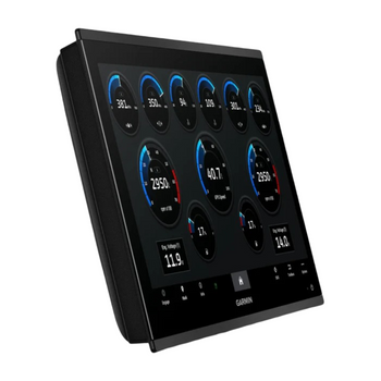
Garmin GPSMAP 9019 Premium Chartplotter with Worldwide Basemap
Garmin


Garmin GPSMAP 1223, Non-Sonar with Worldwide Basemap
Garmin
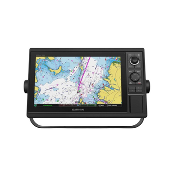
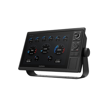
Garmin GPSMAP 1222 GPS Chartplotter 12"
Garmin

Garmin SD Card Reader - GPSmap Series Chartplotters
Garmin

Garmin Power Cable (8-pin) suits GPSMap Chartplotters
Garmin