


Description
It’s the industry’s first integrated 4K resolution touchscreen chart-plotter. Enjoy edge-to-edge clarity and luxury on a glass helm with premium design and materials plus enhanced connectivity and speed.
Features
- PREMIUM CHARTPLOTTER: The 4K resolution IPS sunlight-readable touchscreen display is available in the industry’s largest integrated chart-plotter size. Edge-to-edge design provides a seamless and luxurious modern look.
- FASTER. MUCH FASTER: Processing power is 7 times faster than previous generations for superior performance; draw charts quickly, and calculate Auto Guidance+™ routes2 with lightning speed with an optional Garmin Navionics+™ subscription.
- GARMIN BLUENET NETWORK: Build extensive networks with multiple chart-plotters, cameras, radars and sonars — and enjoy 10 times faster networking speeds with minimal lag.
- ENTERTAINMENT OPTIONS: Enjoy audio and video integrations that allow you to show and hear the same video throughout the screens and speakers on your network.
- HIGH-DEFINITION SONAR: Fish in stunning high definition. Hook up to any of our sonar modules, and view sonar targets on the 4K display (transducers sold separately).
- CONNECT YOUR ECOSYSTEM: Take command through digital system integrations to monitor, automate and control your vessel. The chart-plotter uses the NMEA 2000® and NMEA 0183 networks to connect to your compatible accessories.
Specifications
General
- Dimension: 18.0″ x 12.0″ x 2.7″ (45.7 cm x 30.5 cm x 6.9 cm)
- Weight: 6.42 kg
- Water rating: IPX7
- Touchscreen: Yes
- Display Type: 4K, IPS
- Display Size: 16.1″ x 9.1″ x 18.5″ diagonal, 40.9 cm x 23.0 cm x 46.9 cm diagonal
- Display Resolution: 3840 x 2160 pixels
- Mounting Options: Flush or flat
- Input: Touchscreen
Maps & memory
- Accepts Data Cards: 2 microSD Cards
- Compatible with Garmin SD card reader: Yes
- Waypoints: 5000
- Track points: 50000
- Tracks: 50 saved tracks
- Navigation Routes: 100
Sensors
- GPS: Yes
- GLONASS: Yes
- Galileo: Yes
- BeiDou: Yes
- Receiver: 10 Hz
- NMEA 2000® compatible: Yes
- NMEA 0183 Compatible: Yes
- Supports WAAS: Yes
- Supports multi-band, multi-constellation GPS: Yes
Optional map support
- Garmin Navionics+™: Yes
- Garmin Navionics Vision+™: Yes
- Garmin Quickdraw Contours: Yes
Chart-plotter features
- Garmin SmartMode compatible (customizable monitor presets): Yes
- AIS: Yes
- DSC: Yes
- Supports Fusion-Link™ compatible radios: Yes
- GSD Black Box Sonar Support: Yes
- GCV Black Box Sonar Support: Yes
- ActiveCaptain Mobile Planning Compatible: Yes
- GRID (Garmin Remote Input Device) compatible: Yes
- Wireless Remote Compatible: Yes
- Sailing features: Yes
- Spoken audio alerts: Yes
- OneHelm support: Yes
Electrical features
- POWER INPUT: 10 to 35 Vdc
- Typical current draw at 12 Vdc: 4.6A
- Maximum current draw at 12 Vdc: 5.0A
- Maximum power usage at 10 Vdc: 60W
Sonar features & specifications
- Displays sonar: Yes
- Traditional sonar (dual frequency/beam): Yes (with compatible black box sonar)
- ClearVü: Yes (with compatible black box sonar)
- SideVü: Yes (with compatible black box sonar)
- Panoptix™ sonar: Yes
- LiveScope: Yes
Connections
- NMEA 2000® ports: 1
- NMEA 0183 Input (Rx) Ports: 1
- NMEA 0183 output (Tx) ports: 1
- Video input ports: 1 (BNC composite); 2 HDMI (HDCP compliant)
- Video output ports: 1 HDMI
- J1939 ports: 1
- Garmin BlueNet network ports: 4
- USB ports: yes (2x USB-C)
- Bluetooth® calling: Yes
- ANT® (Connectivity): Yes
- Garmin Wi-Fi network (local connection): Yes
- Audio output: Yes
In the Box
- GPSMAP® 9019 Chartplotter
- Trim snap cover
- Protective cover
- Flush mount hardware
- Power cable
- GPS 24xd NMEA 2000® (with pole mount, flush mount and under deck mount adapters)
- NMEA 2000 backbone/drop cable (2 metres)
- NMEA 2000 power cable
- NMEA 2000 T-connector and terminator kit
- Documentation
Downloads

FAQs
1. Does Garmin GPSMAP 9019 have a high-resolution display?
Yes. It has a 4K IPS touch screen with a resolution of 3840 x 2160.
2. Is Garmin GPSMAP 9019 appropriate for use in bright sunlight?
Yes. The device has an IPS touch screen that is sunlight readable.
3. Does Garmin GPSMAP 9019 have an advanced sonar system?
Yes. It is able to display high-definition sonar and is compatible with traditional sonar, ClearVü, SideVü, Panoptix and LiveScope when used with sonar transducers.
4. Does Garmin GPSMAP 9019 have a fast charting and navigation?
Yes. It has improved processing capabilities, which enables the chart to be drawn quickly. It also has fast Auto Guidance+ route planning with the help of Garmin Navionics+ subscription.
5. Can Garmin GPSMAP 9019 be connected to other marine instruments?
Yes. It has Garmin BlueNet, NMEA 2000 and NMEA 0183 connections, allowing it to connect to other devices such as chart plotters, cameras, radars, sonars and other vessel systems.
Related Products
Related Products

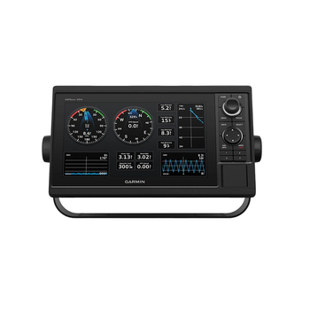
Garmin GPSMAP 1022 10″ Keyed Chartplotter – Worldwide Basemap
Garmin


Garmin GPSMAP 1223, Non-Sonar with Worldwide Basemap
Garmin
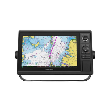
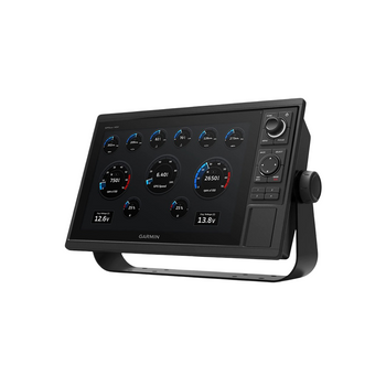
Garmin GPSMAP 1222 GPS Chartplotter 12"
Garmin

Garmin SD Card Reader - GPSmap Series Chartplotters
Garmin

Garmin Power Cable (8-pin) suits GPSMap Chartplotters
Garmin