



Description
Garmin GPSmap 1223xsv sold with world basemap as standard; upgrade your map in the options.
Features
- 12-inch high-resolution intuitive touchscreen controls
- NMEA 2000 and NMEA 0183 support for network connectivity
- Garmin Marine Network support for sharing sonar, including Panoptix sonar, maps, user data, radar, and IP cameras among multiple units
- Supports optional Garmin Navionics+ and Vision+ charts (sold separately)
- Wifi enabled
- Perfect for larger sailing or commercial boats.
- Garmin GNX wind compatible
- Radar and sonar compatible
- DSC and AIS compatible
Experience an advanced navigation solution with this Garmin 12-inch GPSmap 1223xs chartplotter. Includes wireless connectivity features for Garmin mobile apps, NMEA 2000 support, and Garmin Marine Network support for radar and Panoptix FrontVu collision avoidance sonar.
Enjoy built-in Wi-Fi connectivity for Garmin Active Captain apps. Garmin Helm allows you to view your Garmin 1223xsv Chartplotter from a compatible smartphone or tablet while providing enhanced situational awareness for the mariner.
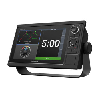
To help you gain a wind-maximising competitive edge, your Garmin 1223xsv GPS features a pre-race guidance page that shows your virtual starting line along with data fields showing laylines, time to burn before the start, and a race timer that can be synchronised across all your networked Garmin GPS products. In addition, other supported sailing features include an enhanced wind rose, heading and course-over-ground lines, set and drift, true and apparent wind data, and more.
Specifications
- Dimension: 12.1" x 8.9" x 3.2" (30.8 x 22.8 x 8.2 cm)
- Touchscreen: yes
- Input: touchscreen
- Display size: 10.3" x 6.4"; 12.1" diagonal (26.2 x 16.3 cm; 30.7 cm diagonal)
- Display resolution: 1280 x 800 pixels
- Display type: WXGA display
- Weight: 6.6 lbs (3.0 kg)
- Water rating: IPX7
- Mounting options: bail or flush
In the Box
- Garmin GPSMap 1223xsv chartplotter
- Power cable
- Bail mount kit with knobs
- Flush mount kit with gasket
- Protective cover
- Trim piece snap covers
- Documentation
Downloads

FAQs
1. Are there any charts supplied with the GPSMAP 1223xsv?
Yes. This model has a worldwide basemap installed as standard, and more detailed Garmin Navionics+ and Vision+ charts can be installed if needed.
2. Is it possible to attach a radar and a sonar?
Yes. This chartplotter supports Garmin radar and sonar units that will complete your boating system.
3. Is it possible to integrate it with other Garmin equipment onboard?
Yes. You can share maps and sonar and radar data thanks to Garmin Marine Network and NMEA 2000 capabilities.
4. Is it possible to control the chartplotter using a smartphone?
Yes. With Wi-Fi and Garmin mobile applications, you can view the chartplotter information on a compatible smartphone or tablet.
5. Is a 12-inch display enough for a bigger boat?
Yes. The big 12-inch display will provide sufficient space to see all required information.
Related Products
Related Products
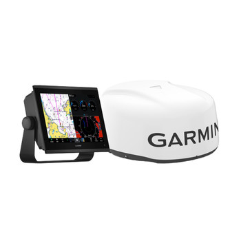
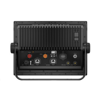
Garmin GPSMAP 1223xsv & GMR 18 HD3 Radar Bundle
Garmin

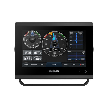
Garmin GPSMAP 723xsv
Garmin

Garmin GPSMAP 1022xsv
Garmin


Garmin GPSMAP 923xsv
Garmin

Garmin GPSMAP 1222xsv
Garmin