


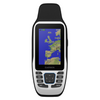


Description
The Garmin GPSMAP® 79s is a rugged, floating handheld GPS, specifically designed for marine use. With its built in compass and ability to accept the optional BlueChart® g3 charts this is a fully featured GPS Chartplotter in your hand
Features
- It’s water-resistant, it floats, and it’s fogproof, so it belongs on the water — just like you.
- This thing can remember up to 10,000 waypoints and more, so you don’t have to.
- It’s nice to have reliable positioning when you’re out on the water.
- The built-in compass will point you in the right direction
- Get the best of Garmin and Navionics® data with optional BlueChart® g3 charts.
- Stay out longer with up to 19 hours of battery life in GPS mode
- microSD™/SD™ Card
Specifications
| DIMENSION | 6.77 x 17.40 x 4.23 cm |
|---|---|
| DISPLAY SIZE | 3.8 x 6.3 cm; 3" diag (7.6 cm) |
| DISPLAY RESOLUTION | 240 x 400 pixels |
| DISPLAY TYPE | Transflective, 65K colour TFT |
| WEIGHT | 282g with batteries |
| BATTERY TYPE | 2 AA batteries (not included); NiMH or Lithium recommended |
| BATTERY LIFE | Up to 19 hours |
| WATER RATING | IPX7 |
| MIL-STD-810 | yes (thermal, shock, water); bare unit only |
| INTERFACE | High speed microUSB and NMEA 0183 compatible |
| MEMORY/HISTORY | 8 GB |
In the Box
- GPSMAP 79s
- Lanyard
- USB cable
- Documentation
Download

Related Products
Related Products

Garmin Handheld GPS 73
Garmin
Current Stock: 6
€175.95
Record up to 1000 waypoints and 100 tracks with a high-sensitivity GPS which can be saved on the Garmin 73 GPS.
This easy-to-use handheld is the perfect navigational solution for boats, sailboats or...
G010-01504-00
Special
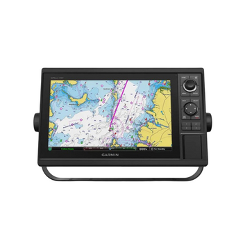
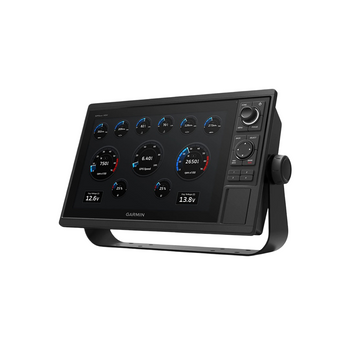
Garmin GPSMAP 1222 GPS Chartplotter 12"
Garmin
Current Stock: 1
Now
€2,189.99
Was
€2,727.99
Garmin GPSMAP 1222 GPS Chartplotter 12" Keyed Display 010-01741-00Experience reliable, high-performance marine navigation with the Garmin GPSMAP 1222, a powerful 12-inch keyed chartplotter designed...
G010-01741-00

Garmin 73 GPS Marine Mount
Garmin
Current Stock: 0
€24.95
Attach the Garmin Marine Mount to your helm, then swivel or tilt for optimal viewing. An easy locking mechanism keeps your compatible device secure while you’re underway, then releases easily so you...
G010-11441-00
Special

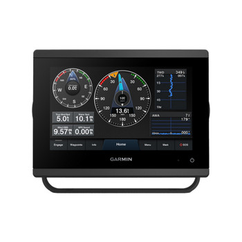
Garmin GPSMAP 723xsv
Garmin
Current Stock: 4
Now
€1,199.00
Was
€1,259.99
With its sleek design, powerful processing and upgraded IPS display, this advanced 7″ chartplotter integrates seamlessly into your Garmin marine system.
Features
Easily integrate with more engines...
G010-02365-02
Special

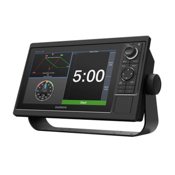
Garmin GPSMAP 1022xsv
Garmin
Current Stock: 2
Now
€1,679.99
Was
€2,099.99
The Garmin 1022XSV GPSmap comes with a diagonal 10" colour screen that can be mounted on a dash or flush. The Garmin 1022 includes all the standard Garmin GPS features such as high waterproofing...
G010-01740-02