

Description
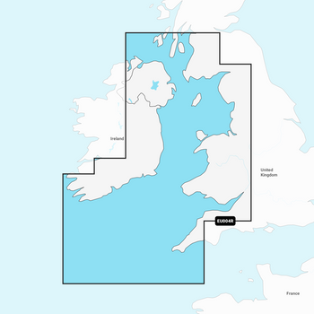
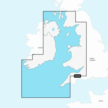
Coastal coverage of the western coast of Britain and the eastern coast of Ireland including the Isle of Man and Isles of Scilly. Coverage is from Port Ellen on the Isle of Islay to Falmouth in Britain and from Fanad Head to Kenmare Bay in Ireland. Coverage includes areas such as Londonderry, Belfast, Liverpool and Cardiff, United Kingdom and Dublin and Cork, Ireland.
Features |
|
|---|---|
| Coastal Content | • |
| Inland Content | 42,000+ lakes |
| Detailed Nautical Charts | • |
| Daily Updates1 | • |
| Dock-to-dock Route Guidance 1,2 | • |
| Plotter Sync1 | • |
| Community Edits | • |
| Advanced Map Options1 | • |
| SonarChartTM Live Mapping3 | • |
Memory Card
- SD/ Micro SD Card
Check Your Compatability
The Navionics+ SD card is suited to most modern systems, including Lowrance, B&G, Simrad and Raymarine. However, you can check you plotter compatibility on the pdf here.
 Compatability information here
Related Products
Related Products


Garmin Navionics Vision+ Chart - Irish Sea
Navionics
Current Stock: 0
PLN1,060.93
IMPORTANT – THIS CHART IS DESIGNED EXCLUSIVELY FOR COMPATIBLE GARMIN CHARTPLOTTERS. PLEASE CHECK YOUR EXACT CHARTPLOTTER MODEL FOR GARMIN NAVIONICS VISION+ COMPATIBILITY BEFORE ORDERING.
The
G010-C1232-00
Garmin Navionics+ Chart - Irish Sea NSEU004R
Garmin
Current Stock: 2
PLN664.08
Garmin Navionics+ & Garmin Navionics Vision+ are exclusively for use in Garmin Chartplotters for non Garmin Chartplotters, see Navionics+ & Navionics Platinum+ Charts
Featuring vibrant colours, a...
G010-C1232-20
Navionics Platinum+ Irish Sea Chart - MSD/SD Card
Navionics
Current Stock: 0
PLN1,186.24
IMPORTANT – PLEASE CHECK YOUR EXACT CHARTPLOTTER MODEL FOR NAVIONICS PLATINUM+ COMPATIBILITY BEFORE ORDERING. BASIC CHART AND PREMIUM FEATURE COMPATIBILITY VARIES BETWEEN CHARTPLOTTER MODELS.
The
G010-C1311-40

Navionics+ Marine Chart - Ireland West Coast
Navionics
Current Stock: 0
PLN754.88
IMPORTANT COMPATIBILITY NOTICE
PLEASE CHECK YOUR CHARTPLOTTER’S NAVIONICS+ COMPATIBILITY BEFORE PURCHASING. COMPATIBILITY DEPENDS ON THE EXACT CHARTPLOTTER BRAND, MODEL, SOFTWARE VERSION AND...
G010-C1312-30

Imray C62 Irish Sea Charts
Imray
Current Stock: 3
PLN172.33
Imray C62 Irish Sea Charts
Includes
Carrick fergus (1:15 000)
Bangor Bay (1:17 500)
Entrance to Strang ford Lough (1:37 500)
Portaferry Marina (1:7500)
Strangford (1:5000)
Ardglass (1:15...
49562