Garmin
Garmin EchoMap 7" UHD2 75sv GPS with UK, IRL & NL Chart
- SKU:
- G010-02686-10
- UPC:
- 753759307936
- MPN:
- 010-02686-10





Description
The Garmin ECHOMAP UHD2 75sv Chart plotter offers built-in best-in-class sonar, built-in Garmin Navionics+™ for U.K, Ireland and Holland and a premium touchscreen display with keyed-assist
Features
- The bright 6″, 7″ or 9″ touchscreen display with keyed-assist is user-friendly and easy to read.
- Good things come in threes. Supports three sonar types, that is: Garmin traditional, ClearVü™ and Side Vü™ sonars¹.
- Improved detail? Check. Distinguished targets? Yep. That’s the beauty of high-contrast vivid color palettes.
- If you’re running another ECHOMAP UHD2 chart plotter, you can wirelessly share sonar, waypoints and routes.
- Want our best in mapping? Who doesn’t? Select chart plotters come with Garmin Navionics+™ mapping.
Specifications
- Dimensions: 8.6″ x 5.6″ x 3.2″ (21.8 x 14.2 x 8.1 cm)
- Weight: 2.2 lbs (1 kg)
- Water rating: IPX7
- Touchscreen: Yes
- Display Type: WVGA, TN
- Display Size: 6.1″ x 3.4″, 7″ (15.5 x 8.7 cm, 17.8 cm)
- Display Resolution: 800 x 480 pixels
- Mounting Options: Bail or flush
- Input: Touchscreen with Keyed Assist
- Accepts Data Cards: 1 microSD™ card (32 GB maximum size)
- Waypoints: 5,000
- Track points: 50,000
- Tracks: 50 saved tracks
- Navigation Routes: 100
In the Box
- ECHOMAP UHD2 75sv
- 12-pin sounder to 8-pin transducer cable
- Power cable
- Tilt/swivel mount with quick release cradle
- Protective cover
- Hardware
- Documentation
SONAR SUPPORT
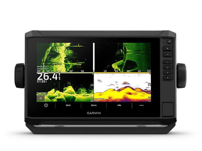
With support for crisp, clear traditional sonar¹ and brilliant Cleave and SideVü scanning sonars¹, the fish will have nowhere to hide. Your ECHOMAP UHD2 also supports Live Scope™ live-scanning sonar¹.
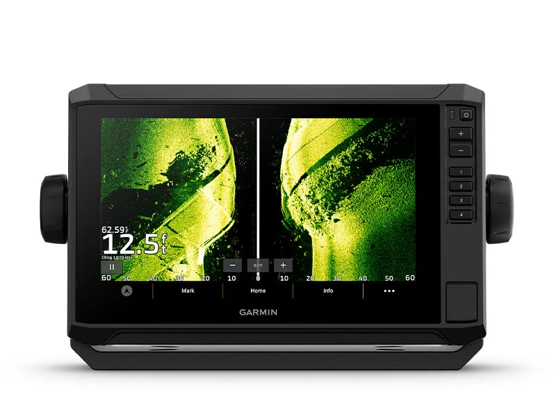
VIVID COLOUR PALETTES
High-contrast, vivid scanning sonar color palettes make it easier than ever to distinguish targets and structure.
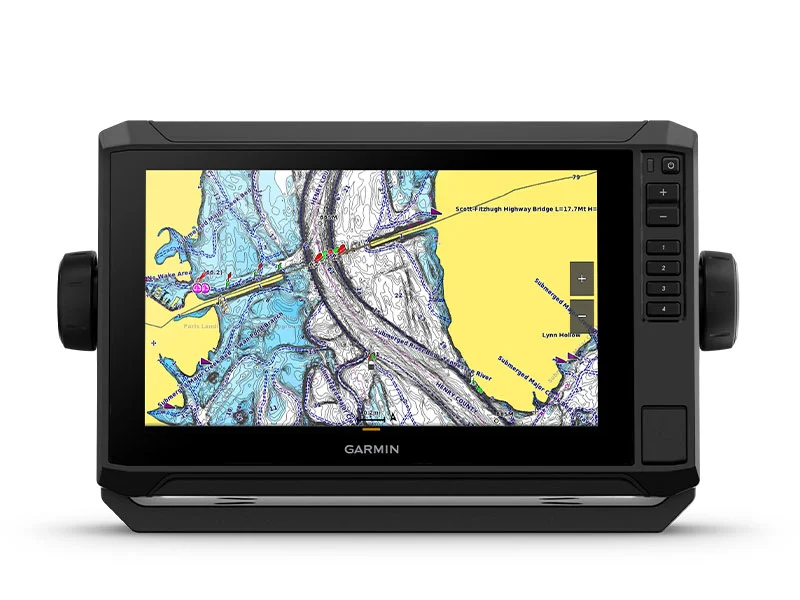
PRELOADED CHARTS
You’ve never seen Garmin cartography like this before. Chart plotters come with built-in Garmin Navionics+ cartography for U.K., Ireland and the Netherlands which includes a 1-year subscription for daily updates, raster cartography and more.
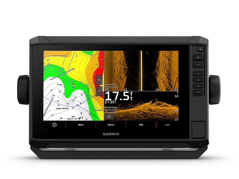
WIRELESS NETWORKING
If you have another compatible ECHOMAP UHD2 chart plotter on your boat, you can wirelessly share information — such as sonar1, waypoints and routes — with them.
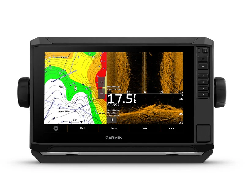
ACTIVECAPTAIN® APP
Built-in Wi-Fi® connectivity pairs with the free all-in-one mobile app for access to the One Chart™ feature, smart notifications2, software updates, Garmin QuickDraw Community data and more.
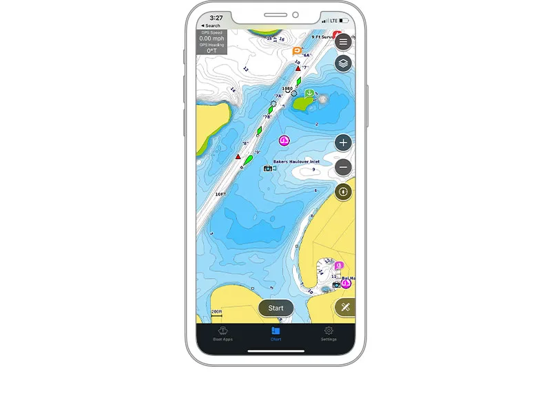
AUTO GUIDANCE+™ TECHNOLOGY
Built-in Garmin Navionics+ charts for U.K., Ireland and the Netherlands include downloadable Auto Guidance+ technology3 with the Active Captain app.
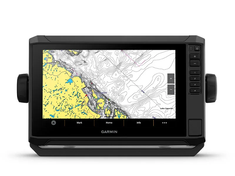
TROLL WITH FORCE®
Your ECHOMAP UHD2 chart plotter wirelessly connects to your Force Trolling Motor to create and follow routes, navigate to waypoints, control speed, check battery life and more.
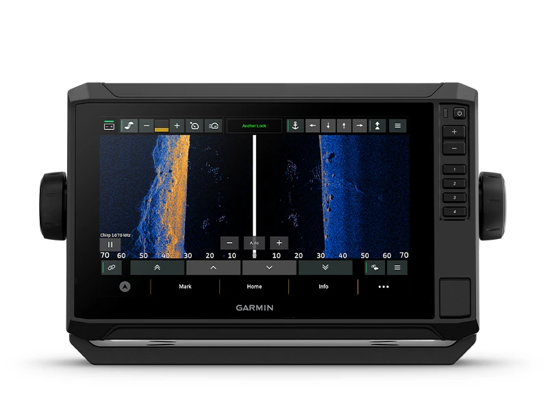
POWER-POLE® SHALLOW WATER ANCHOR
By networking selected Garmin chart plotters with a Force® trolling motor and your compatible Power-Pole shallow water anchoring system, you can access advanced boat control features4 from your plotter, including smart anchor auto-deployment, smart anchor jog, auto stow, anchor drag detection and auto guidance5 end-of-route anchoring. Spend more time fishing, less time positioning.
CHARGE INTEGRATION FROM POWER-POLE
Your CHARGE Marine Power Manager from Power-Pole integrates with compatible Garmin chart plotters to help keep your battery power going longer and stronger on the water. You’re able to charge batteries on the run, monitor power use, select where power is allocated, control emergency starts and even transfer power between battery banks — all from your chart plotter display.
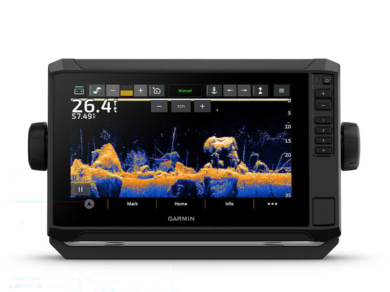
MULTI-BAND GPS
Get improved position accuracy, particularly in areas where signals are reflected or weak, with multi-band GPS.
Downloads
FAQs
1. Are there any charts included with the ECHOMAP UHD2 75sv?
Yes, it includes Garmin Navionics+ maps for UK, Ireland and the Netherlands, along with 1-year subscription for daily updates.
2. Is it possible to use it for fishing in addition to navigation?
Yes, you have a traditional CHIRP, ClearVü and SideVü sonar that provides a clear picture of everything under and near your vessel.
3. Is the 7-inch display easy to use?
Yes, you have a clear touchscreen display and keyed-assist controls for another option to control this chartplotter.
4. Can it be used with other ECHOMAP UHD2 units?
Yes, you have wireless transfer of sonar, waypoints and routes between compatible ECHOMAP UHD2 units.
5. Is it possible to update it using my smartphone?
Yes, you can use the ActiveCaptain app to install software updates using your smartphone.
Related Products
Related Products


Garmin EchoMap 6" UHD2 65sv GPS with UK, IRL & NL Chart
Garmin


Garmin EchoMap 9" UHD2 95sv GPS with UK, IRL & NL Chart
Garmin


Garmin EchoMap 7" UHD2 75cv w IRL,UK & NL Chart
Garmin


Garmin Echomap 5" UHD2 55cv with UK, IRL & NL Chart
Garmin
Garmin Echomap Plus 45cv w UK, IRL & NL Charts
Garmin